My last few weekly walks have all been to the south where, with a few exceptions, I can be sure of meeting practically no-one. North of here the Thames Valley floor has more and larger settlements on it, and IME it’s on the footpaths and by-ways around settlements that the close-to-home exercisers congregate. So I’ve stayed away. But looking at the map I realised there might be an exception to this. The Thames Path, based largely on the old towpath, in some places isn’t a part of the local path network, so I decided to check it out yesterday. All but one of the pics below are from the path sections between Shillingford bridge (bottom right on the map) and Sutton bridge (above-centre left). I walked it upstream (east to west). Once I was past the Thame outflow south of Dorchester I had just four encounters with people in something like six miles. And two of those were really in Clifton Hampden. We all kept our distance, of course.
Since many of the pics are of bridges I couldn’t resist including this one. That isn’t the Thames. It’s the Mill Brook to the east of South Moreton. This looks like the work of kids (quite intrepid, since the brook is narrow and several feet deep just there)
The first proper bridge is Shillingford. I’d walked up the road from Wallingford so this was the view I got
And this looking downstream from the bridge itself
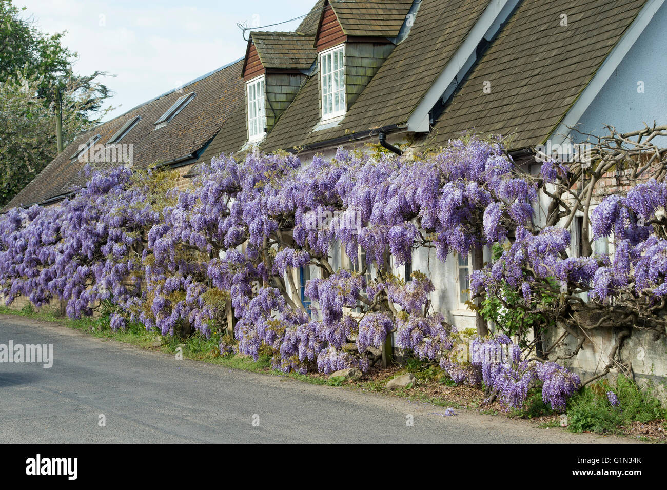
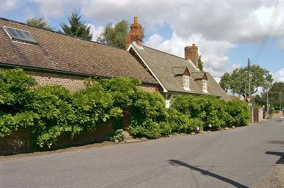
Would someone please move that fallen tree on the left out of the way. It’s spoiling the composition ! Once you’re over the river the path actually departs from it briefly, taking you past Wisteria Cottage. Since we had a recent mention of the plant here’s a snap of a big one
Beyond the Thame the quiet was broken by the sound of a Chinook out of RAF Benson. They practise a lot, including occasionally flying quite close to the terrain. I guess he’d been planning to do this all along rather than just spotting me and coming across for a look. Here he is banking in the distance
and here heading straight for me
I tried some shots as he flew right overhead but couldn’t avoid blurring the image.
Next up was Day’s Lock. There’s still enough flow in the river for the weir to be noisy, but upstream it’s mirror-like
The path through the meadows on the left was deserted. You might just be able to see, in the pollarded trees, that there’s a gate. On it there’s a sign saying “Bull In Field”. Suddenly the lack of people makes sense.
The river swings in a long, slow bend here. There are some nice little places on the opposite bank (Burcot village). It must be a nuisance that boatists and walkers can still stare in though. If you want a bit more privacy then, as the folks in the first pic have realised, the trick is to make your back garden about 200m long
Another bridge - Clifton Hampden this time - and another fallen tree littering the downstream vista on the left  . The bridge itself is pretty (George Gilbert Scott). Usually the view is somewhat spoiled by vehicle tops visible over the parapet. But it’s quiet now, of course
Above Clifton there is a cut with a lock on it which helps bypass the local shallows and bends. The Wiki article says The construction of the lock cut was delayed because the owner of the land was “a lunatic”. The lock looks fine though and the cottage is lovely
Beyond it is another long bend. I struggled to get any more pictures because the sun was getting too low when I looked upstream and the vegetation on the river bank was pretty thick in any case. Here’s a downstream one with the river (hidden) on the right in the foreground and swinging all the way across from right to left in the distance. The bare patch in the field is probably a consequence of winter flooding. Above is a very rare con-trail
The last pic was taken looking upstream-ish in the shade of the mainline railway bridge just north of Appleford
VB